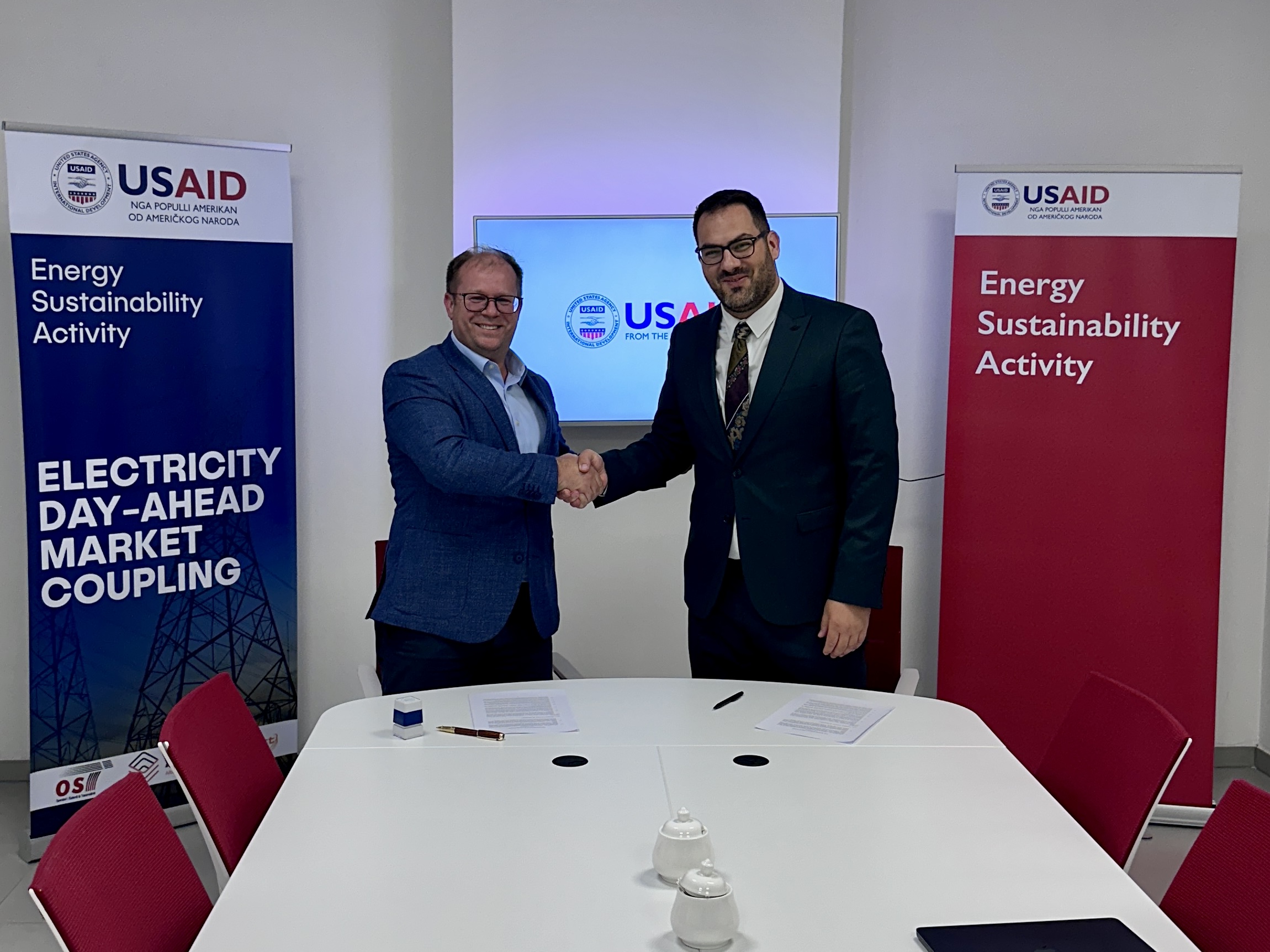
Tetra Tech’s USAID-funded Energy Sustainability Activity (ESA) has signed a Memorandum of Understanding with Solariss L.L.C. to accelerate renewable energy deployment in Kosovo.
Through this cooperation, ESA will provide technical, regulatory, and stakeholder engagement expertise to support Solariss in developing a 100-megawatt solar project in the village of Kosuriq, Peja municipality.
Key areas of collaboration include:
Regulatory & Institutional Guidance: Navigating application processes with key entities such as the Ministry of Environment, Spatial Planning and Infrastructure, Energy Regulatory Office (ERO), and KOSTT.
Community Engagement: Advising on public consultations and local community initiatives.
Private Sector Enablement: Removing market barriers to improve Kosovo’s long-term energy security, regional integration, and economic growth.
Partnering with local developers to turn renewable energy ambitions into reality.
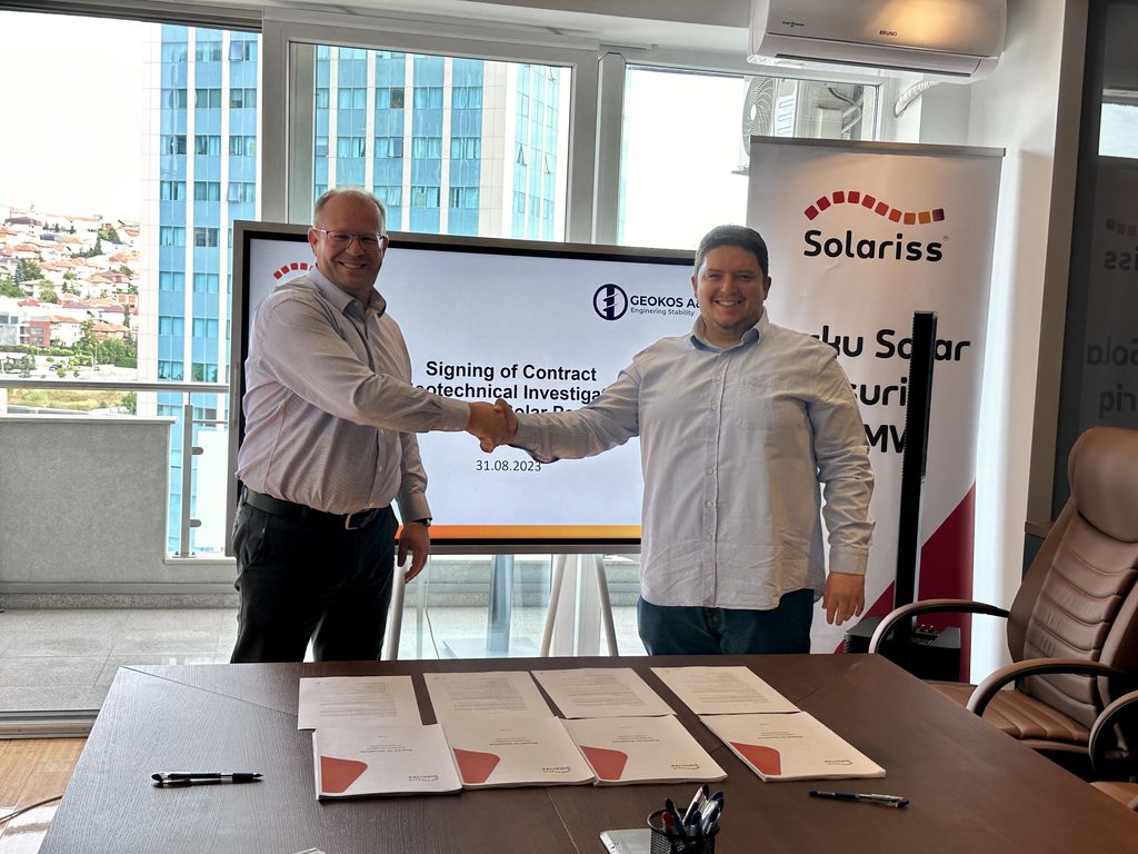
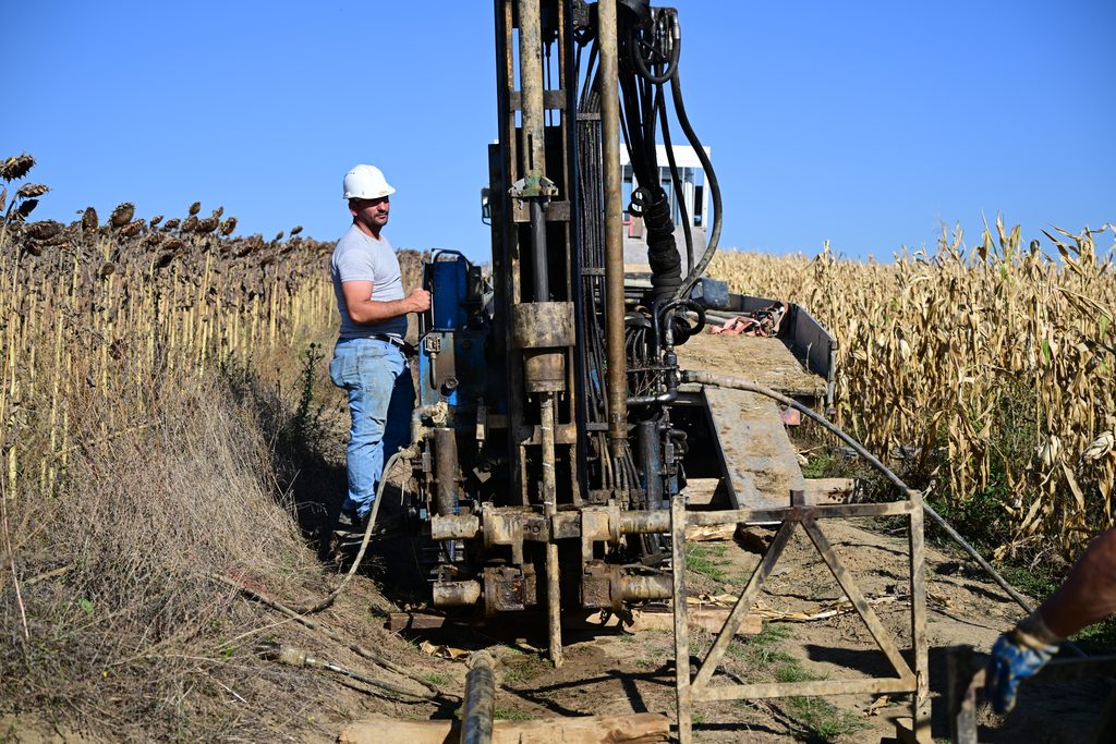
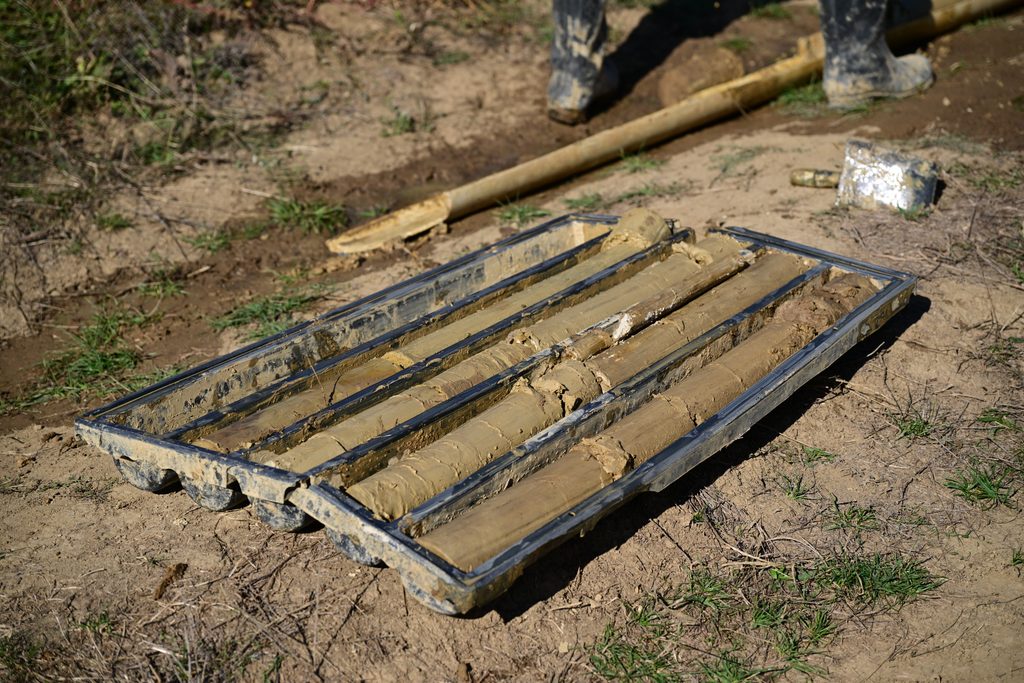
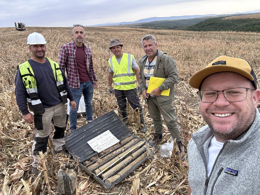
Solariss L.L.C. engaged local specialized companiy GEOKOS A&A to conduct a geotechnical investigation of the site.
The geotechnical investigation campaign was carried out during period September – November 2023.
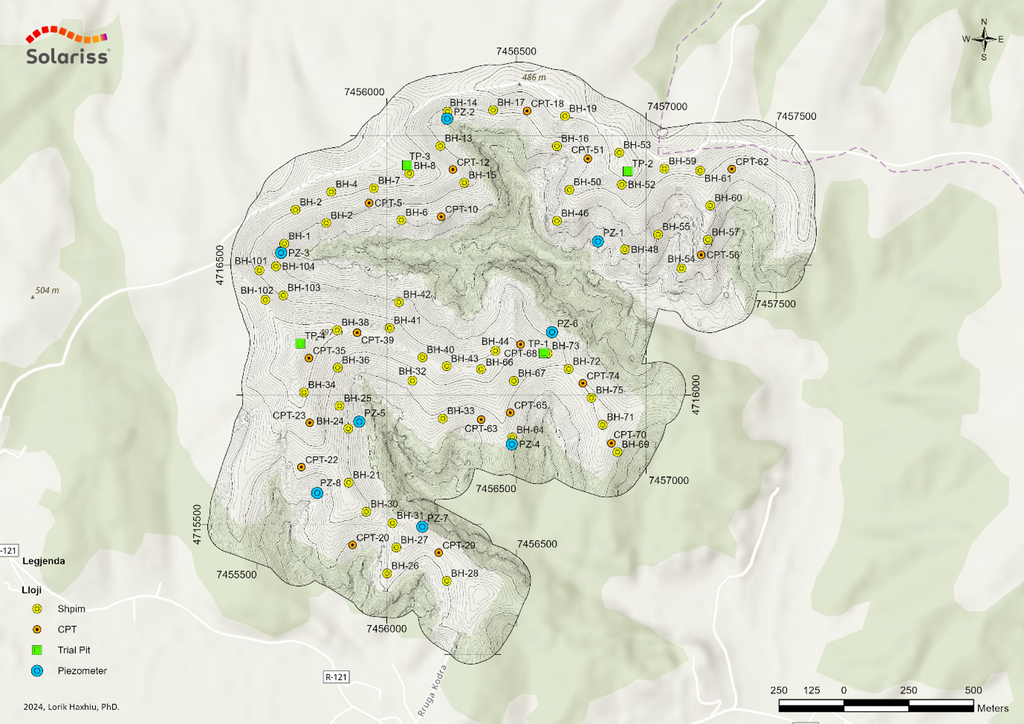
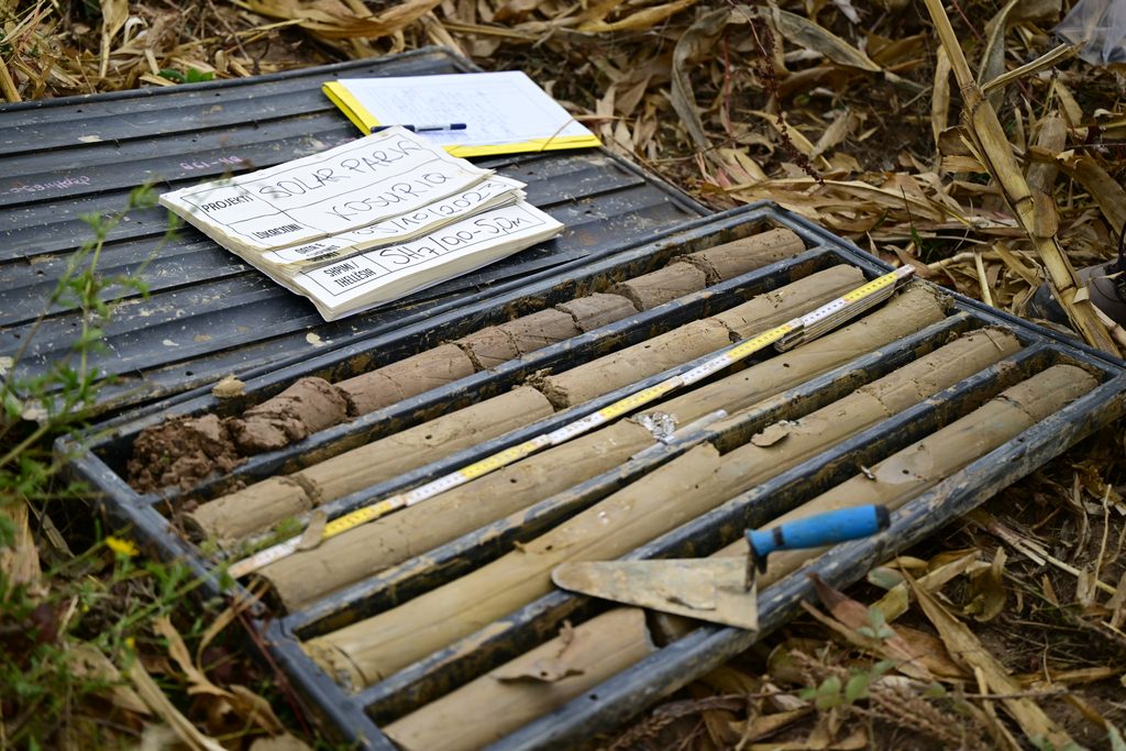
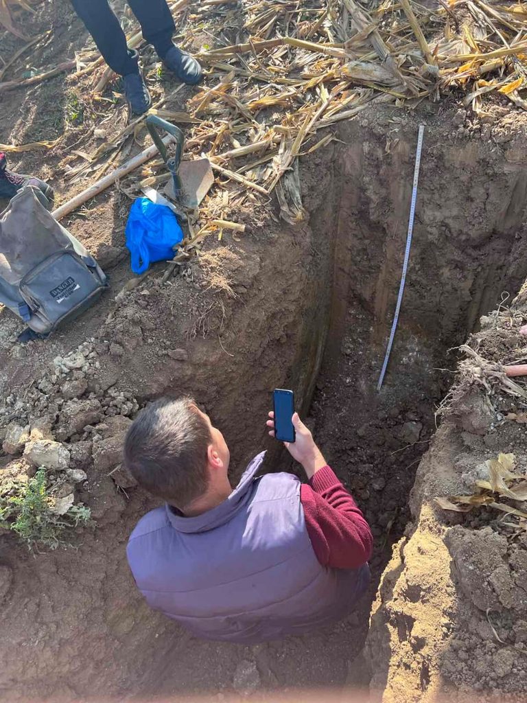
The investigation campaign included 56 boreholes with soil sampling (totaling 308 meters of samples), 4 trial pits up to 3 meters deep to assess soil stratification, 23 Cone Penetration Tests (CPT), and the installation of 8 piezometers (12 meters deep) for measuring and monitoring the groundwater level.
The data collected provides an accurate assessment of the geotechnical, pedological, and hydrogeological conditions of the site.
Position of Geotechnical Investigation activities
A comprehensive Geotechnical Report was submitted in December 2023.
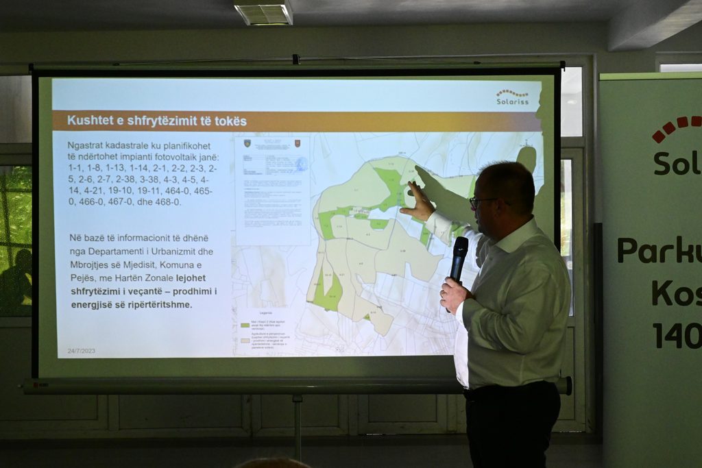
Following the submission and review of the Environmental Impact Assessment (EIA) Report and the conclusion of the public debate on July 27, 2023, the Ministry of Environment, Spatial Planning and Infrastructure (MESPI) issued a decision granting Solariss LLC an Environmental Consent for the Kosuriq Solar Park. This represents a major milestone, allowing the company to finalize the documentation required to apply for a Construction Permit.
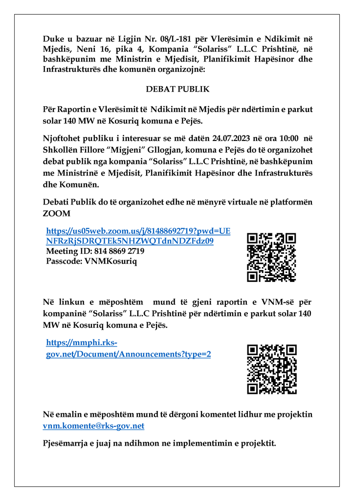
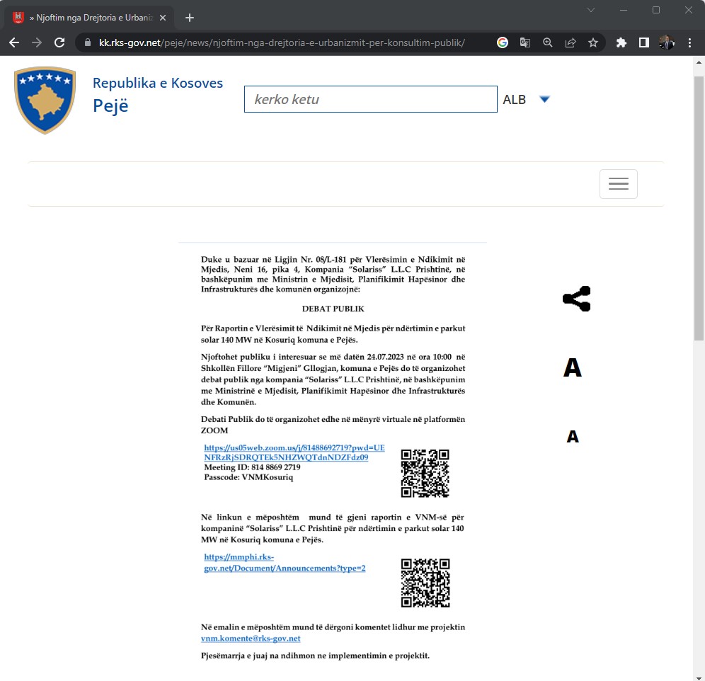
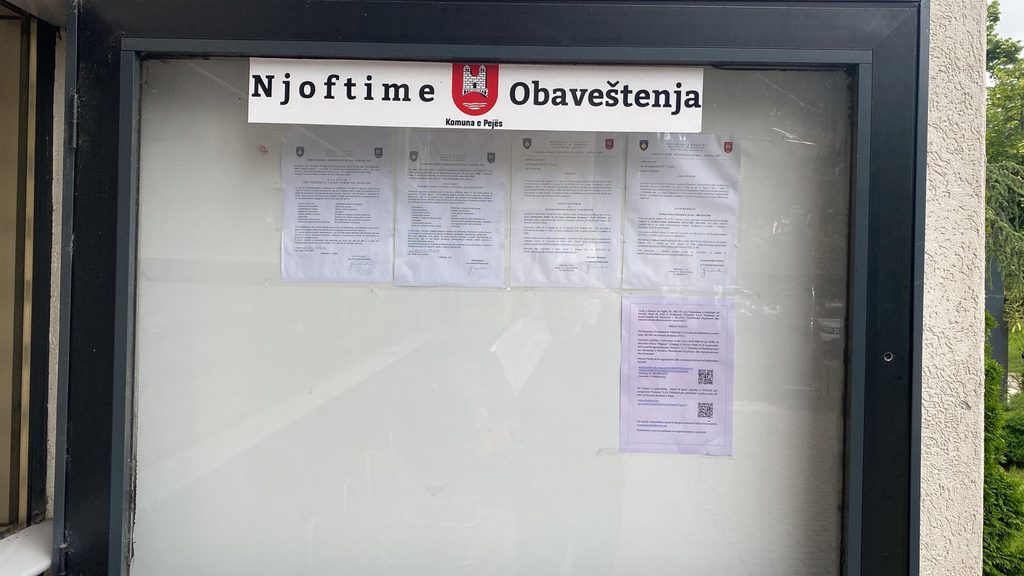
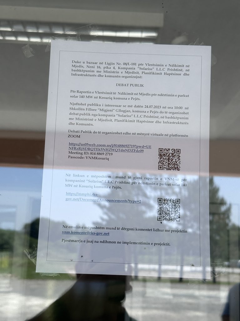
Following the submission of the Environmental Impact Assessment (EIA) Report to the Ministry of Environment, Spatial Planning and Infrastructure (MESPI), the document was reviewed and released for public consultation alongside the announcement of a public debate.
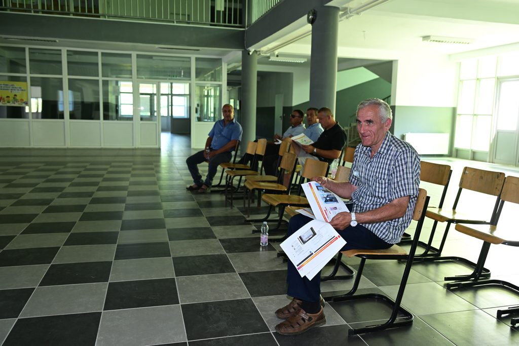
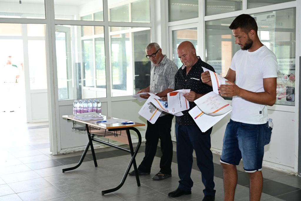
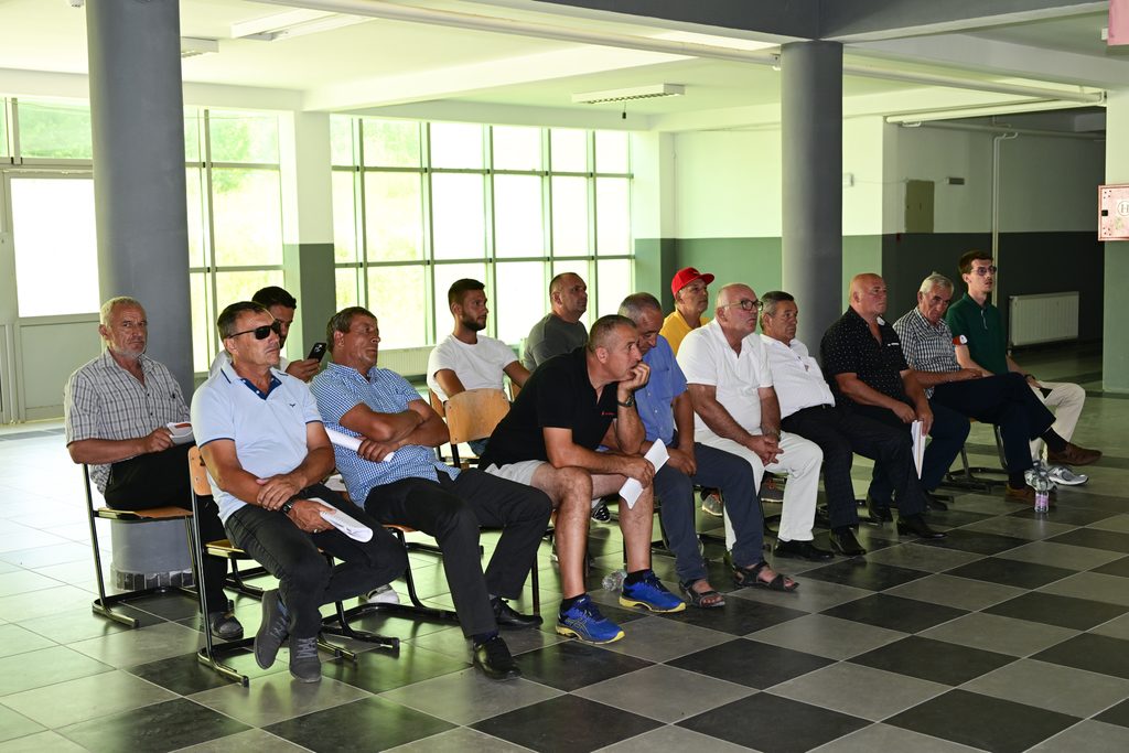
The debate took place on July 24, 2023, in a hybrid format—hosted in person at the elementary school in Kosuriq and virtually via Zoom.
The Transmission, System and Market Operator (KOSTT JSC) issued the Technical Information to Solariss LLC concerning the prospective connection of the Kosuriq Solar Park to the Kosovo Transmission Network.
Though non-legally binding, this information serves as a critical basis for subsequent project planning and engineering design.
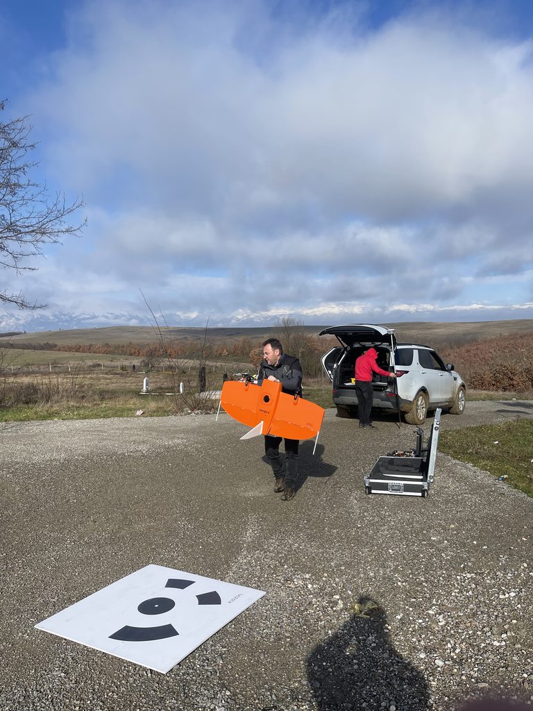
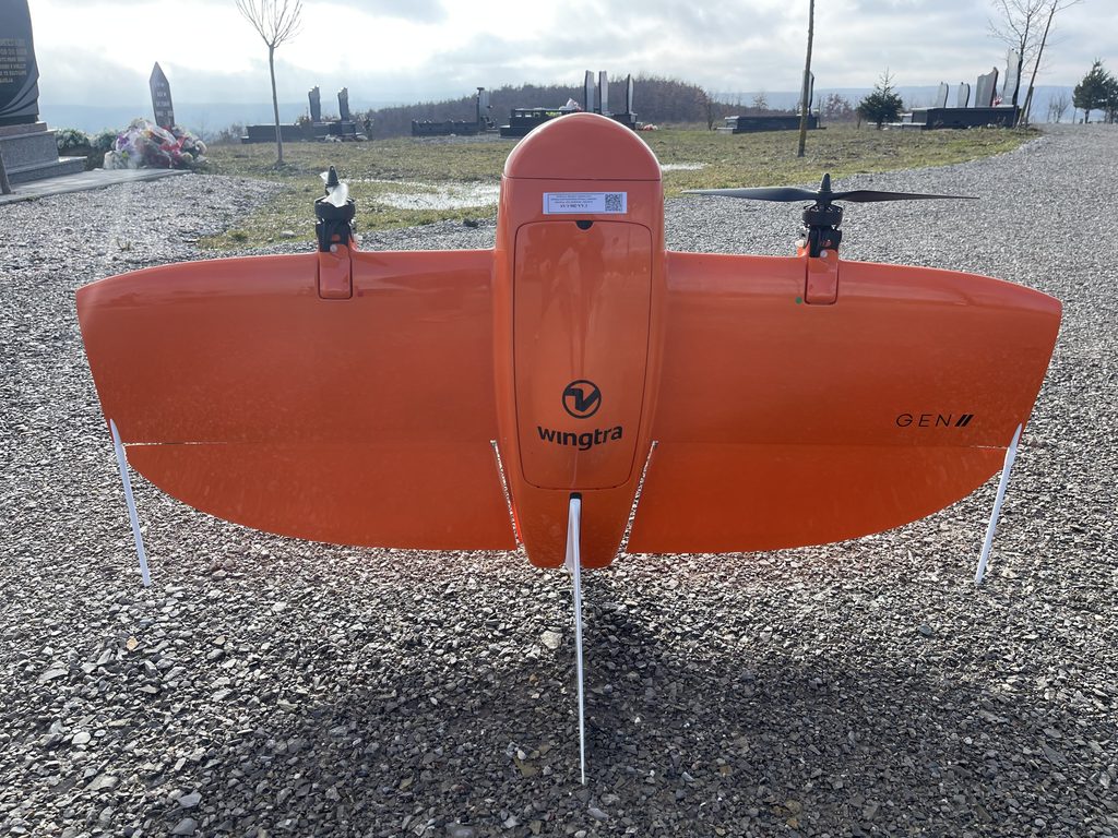
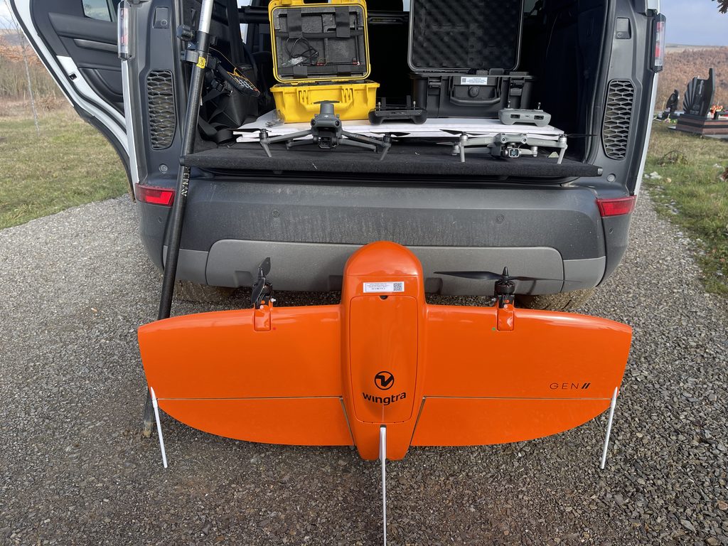
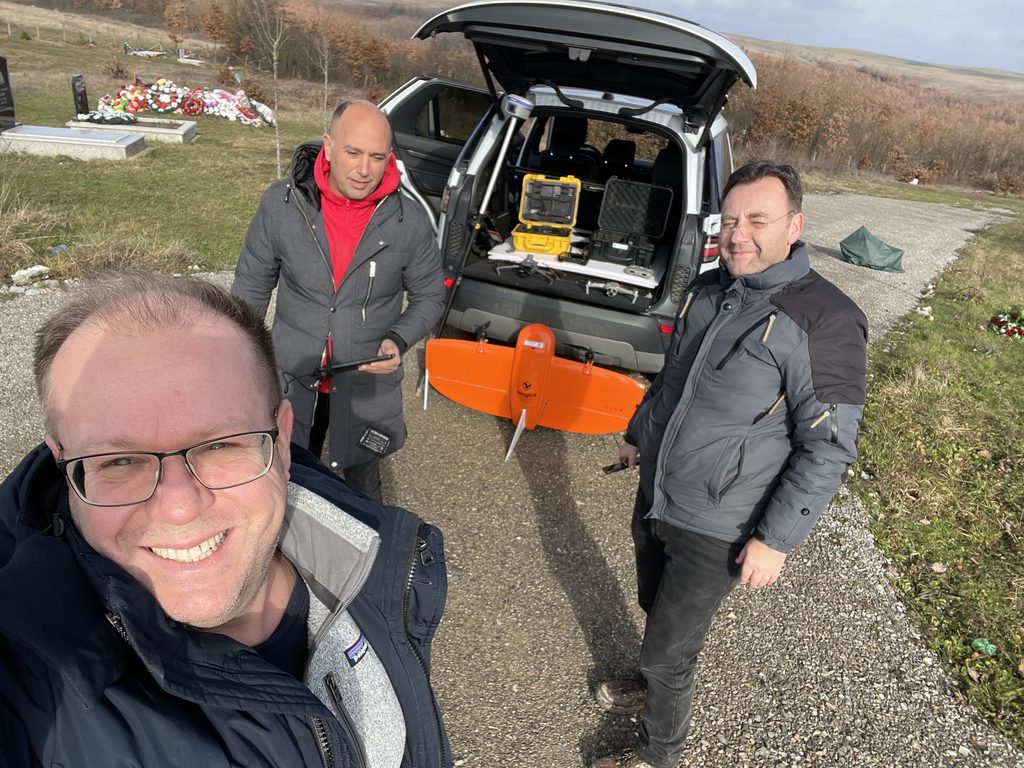
To obtain accurate and up to date information about site conditions for solar PV plant development, Solariss LLC has engaged local specialized survey company ITEG LLC to carry out professional drone survey of the site. Survey methodology, equipment used and results of survey campaign are described thoroughly below.
A drone topographical survey is a survey method that uses unmanned aerial vehicles (UAV) equipped with various sensors to collect data about topography and physical features of given site. The collected data (photographs) are then processed through photogrammetry software to create detailed maps and 3D models of the site.
This type of survey is important for solar PV site assessment as it provides accurate and up-to-date information about the terrain, vegetation, and other physical features of the site. This information is crucial for the design and engineering of a solar PV system, as it allows to identify potential issues and optimize the layout of solar PV plant for maximum energy production.
By using a drone topographical survey, developers can save time and reduce costs compared to traditional ground-based survey methods. Additionally, drones can access areas that are difficult or impossible to survey with traditional methods, providing more comprehensive and accurate data.
The Kosuriq site and surrounding area was surveyed with UAV on 15.01.2023. Apart from UAV, Ground Control Points (GCP) have been placed to verify accuracy of UAV measurements.
Below are parameters of the UAV, sensor, capture parameters, processing, and output results.
Photo from Kosuriq UAV survey campaign
Parameters of UAV, sensor, processing, and results.
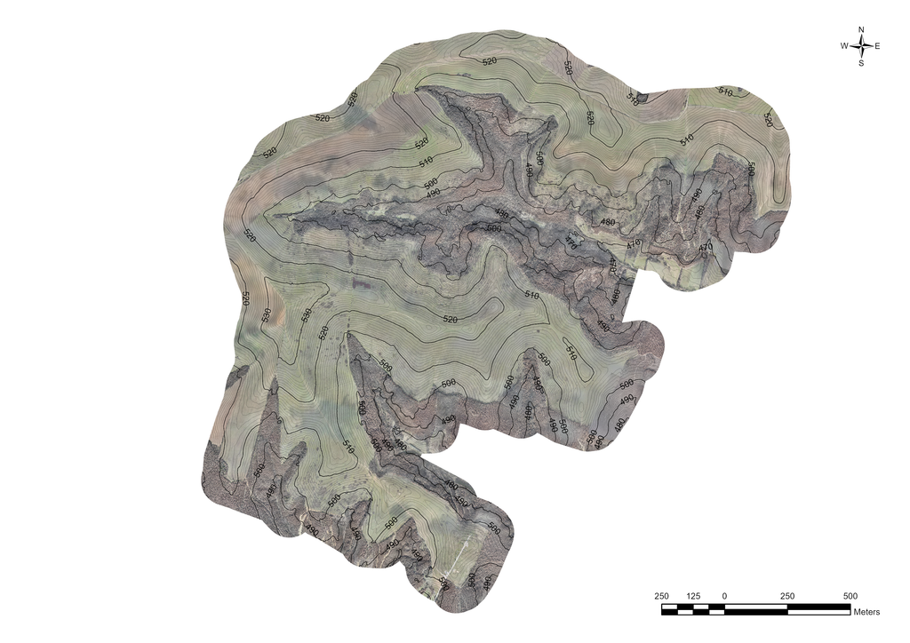
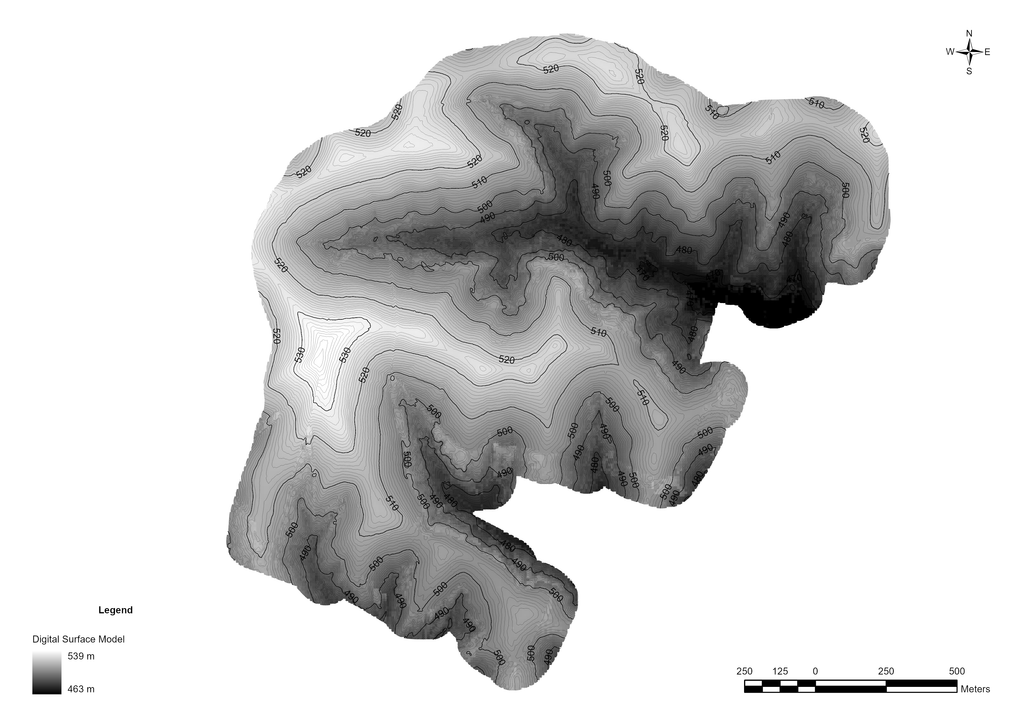
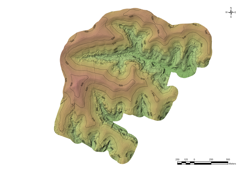
The UAV survey and processing generated useful information about site, including:
Aerial Images (Orthophotos)
Digital Surface Model
Digital Terrain Model
Terrain Contours
The obtained data in conjunction with other geographic constrains are basis for identification of suitable sub zones for solar PV plant development within the property.
A digital orthophoto is a computer-generated image of an aerial photograph in which displacements (distortions) caused by terrain relief and camera tilts have been removed. It combines the image characteristics of a photograph with the geometric qualities of a map.
Digital Surface Models (DSM) are often confused with Digital Terrain Model (DTM). The main difference between the two models lies in the fact that the DSM generally takes into account all persistent objects on the ground (vegetation, buildings, and other artifacts) – while the DTM shows the development of the geodesic surface.
Digital Surface Model – DSM
DTM sometimes called Digital Elevation Models (DEM) is a topographic model of the bare earth that can be manipulated by computer programs. The data files contain the elevation data of the terrain in a digital format which relates to a rectangular grid. DTMs are base for generation of bare earth contour lines.
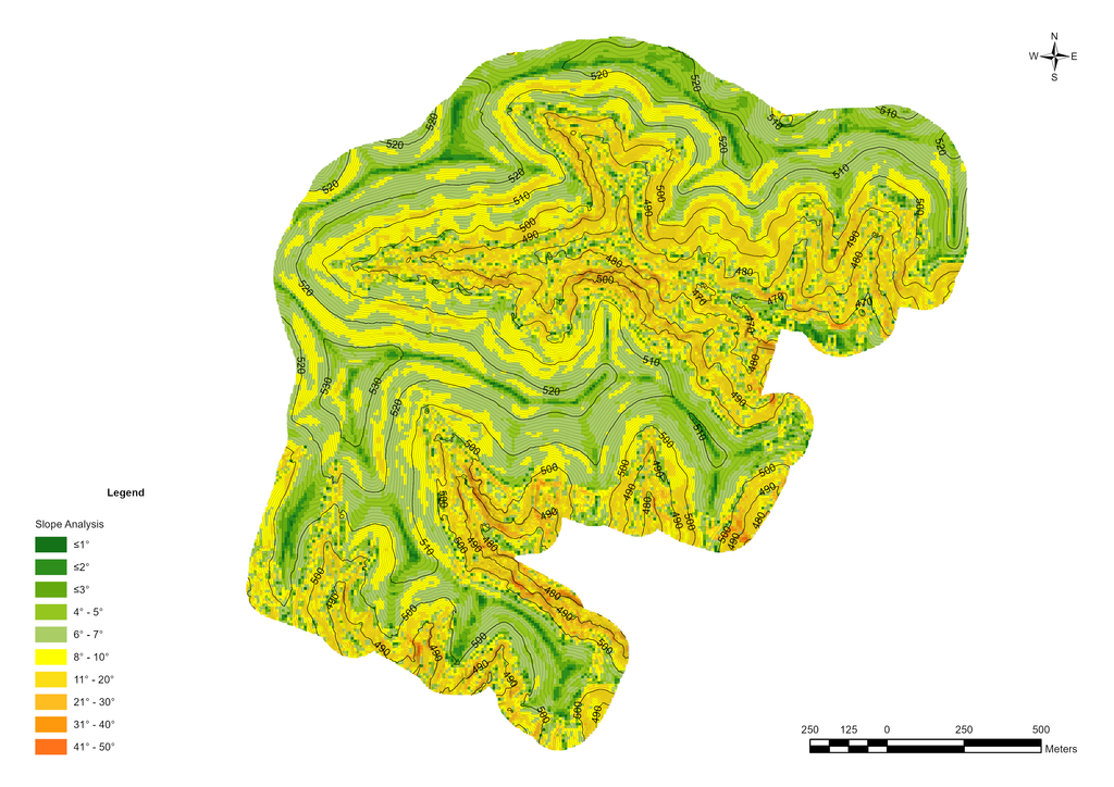
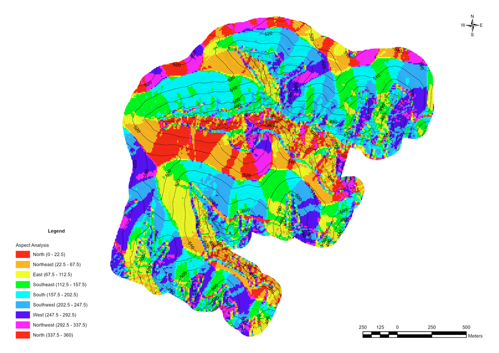
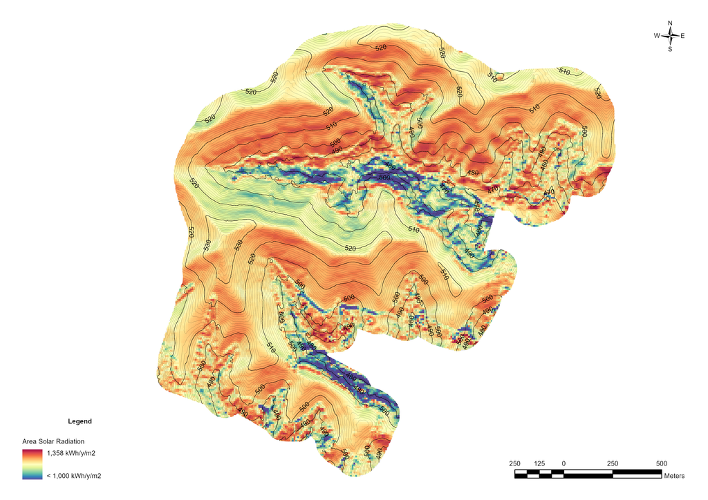
Based on results of topographical survey it was possible to perform various geospatial analysis of the area, including Slope Analysis to eliminate areas with steep slopes, Aspect Analysis to eliminate north facing slopes, and Area Solar Radiation Analysis to identify areas with best solar potential.
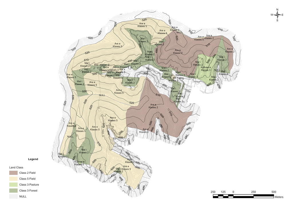
The next step of spatial analysis was to identify other land development constrains. Land constraints for a solar PV site refer to the factors that limit or affect the use of land for the development of a solar photovoltaic (PV) system.
These constraints can include factors such as land availability, zoning restrictions, soil type, current land classification (see Figure below), public infrastructure and facilities, environmental regulations, and other physical or legal considerations that may impact the feasibility of a solar PV project.
Understanding these land constraints is important for identifying suitable sites for solar PV development and for planning and designing a project that is efficient, cost-effective, and compliant with applicable regulations.
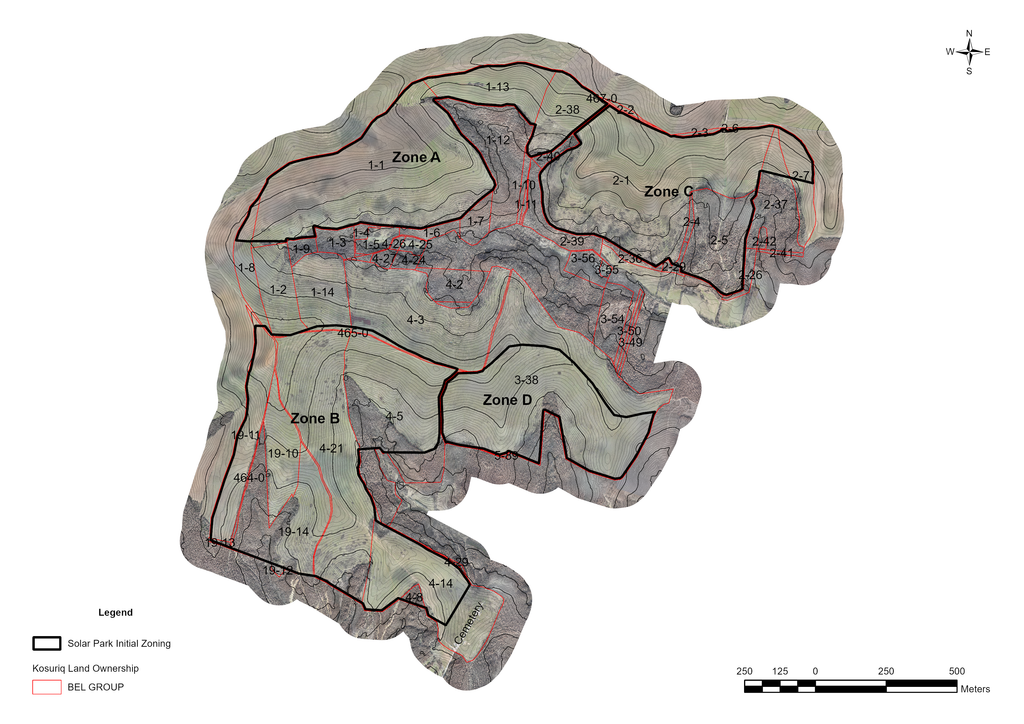
The site has been separated into four sub-zones with solar resource potential as well as land classification weighting in as decision-making factors. The later may lead to phased development of the site due to necessity to change land use destination.
The preliminary estimated capacities presented in Figure and Table below still do not take into account constrains related to different layout of solar PV modules, safety perimeters, main and perimeter roads, cable trenches and placement of power stations (central inverters and transformer stations).